Cincinnati is one of the first major cities in the American Midwest. It grew from a military outpost into an economic and cultural center for the entire region. Many key changes took place in the mid- and late 19th century, which will be discussed in this article.
The 19th century was a time of rapid growth, an influx of migrants, technological progress, and social tensions. Although downtown Cincinnati lost its leading position to other industrial cities by the end of the century, it was the 19th century that shaped the character of Cincinnati: pragmatic, ambitious, and at times sharply contradictory.
City on the River
Downtown Cincinnati was founded in 1788 on the north bank of the Ohio River, a waterway that played a key role in shaping its character and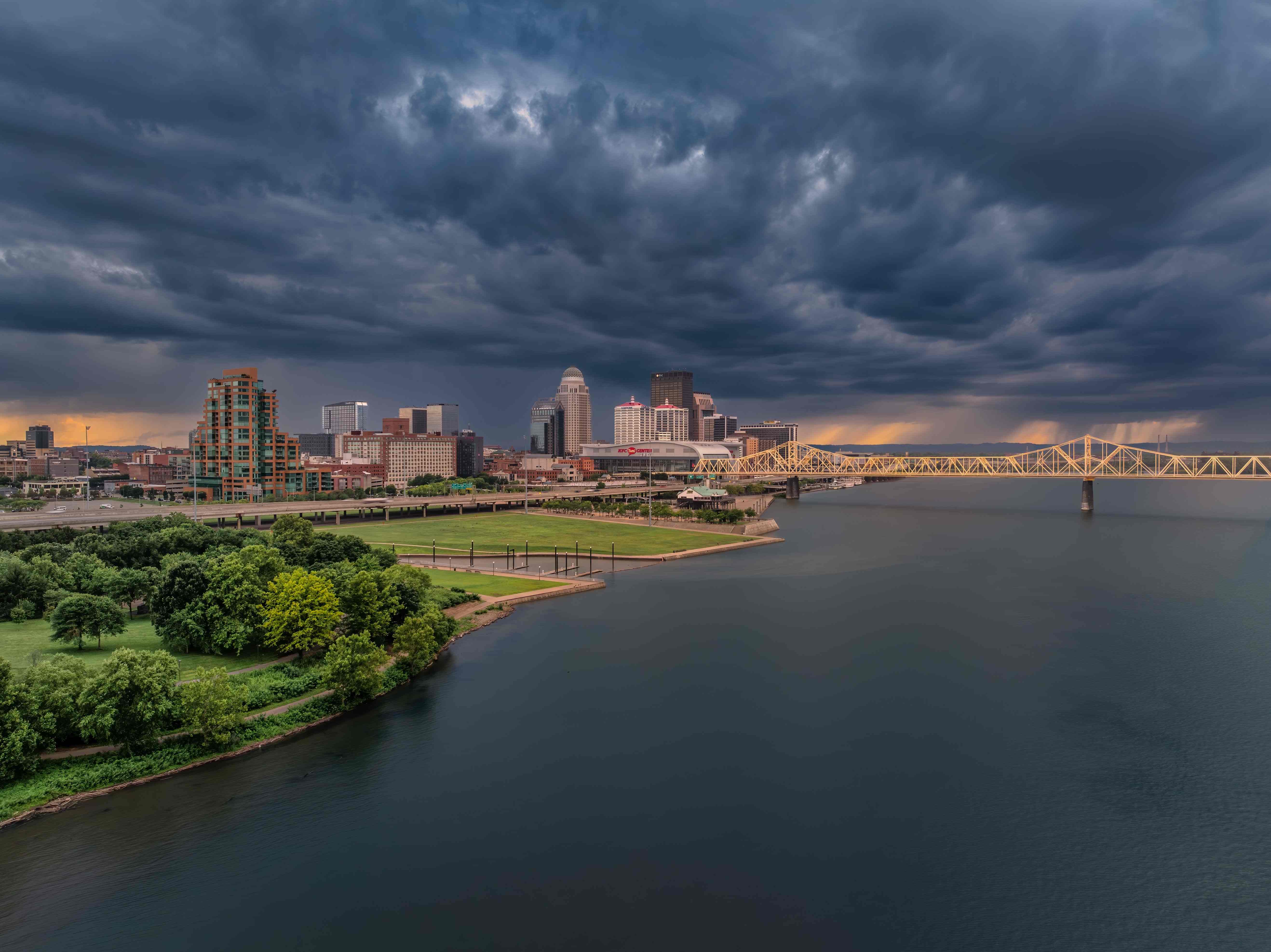 historical destiny.
By the beginning of the 19th century, it had become an important transit hub, linking trade between the industrial North and the agricultural South, between the coastal states and the developing territories of the American West. Its strategic location turned the city into a frontier of civilization and, at the same time, a place where cultures, interests, and conflicts collided, intersected, and intermingled.
Physical geography also contributed to its growth. The city is spread out over hilly terrain, offering sweeping views of the river and the Kentucky riverfront. The presence of a convenient harbor and navigable river made Cincinnati an ideal location for warehousing and manufacturing, as well as for transportation logistics.
In the first half of the 19th century, it became:
- The main port on the Ohio River: Goods were shipped south from here, including meat, grain, soap, and wood products.
- The largest city in the West: Between 1820 and 1850, downtown Cincinnati was second only to New York, Philadelphia, and Boston in terms of population and economic activity.
- A key link in migration flows: The city was a transit point for settlers heading west and former slaves seeking freedom in the North.
- A crossroads of cultures: German, Irish, and English could be heard on the streets, and Catholic, Protestant, and Jewish traditions mingled.
- Frontier of freedom and slavery: The Ohio River literally separated free Ohio from slave-owning Kentucky. This made the city a moral frontier in national history.
In 1819, Cincinnati was officially granted city status. By the middle of the century, it had become one of the first true “metropolises” in the American interior. Its nickname, the Paris of America, reflected not the presence of its own Eiffel Tower, but its importance on a national scale. It was geography, transportation, and openness to migration that set the course for the city’s development until the end of the 19th century.
Immigration as Foundation of Identity
In the second quarter of the 19th century, downtown Cincinnati experienced a powerful demographic surge. Thousands of German immigrants arrived here in search of work and stability. However, they did not dissolve into the general population. Instead, they formed a distinctive urban subculture with breweries, music societies, theaters, schools, and later German-language newspapers.
By the 1850s, more than half of the city’s artisans and workers were German. The term “Over-the-Rhine” even emerged to describe the area north of the city center, separated by a canal jokingly called the “Rhine” because of its dense German population.
The Irish diaspora also played a significant role, especially in construction and low-paid labor. Together, these two waves of immigration gave the city a colorful but energetic character.
Industrial boom
Industry in Cincinnati developed rapidly. The key sectors that made the city a necessary logistics and industrial hub of the country were shipping, meat processing, soap and candle manufacturing, and woodworking. At the height of its influence in the mid-century, Cincinnati was called the “Paris of America” and the “Queen of the West.”
The emergence of corporations also became a symbol of economic prosperity. For example, Procter & Gamble was founded in 1837 by two immigrants. The city also actively developed its infrastructure, including railways, canals, and suspension bridges (including the Roebling Bridge, the predecessor of the Brooklyn Bridge).
Ideas and Conflicts
As a city on the border between the slave-owning and free worlds, downtown Cincinnati became an essential point in the Underground Railroad, a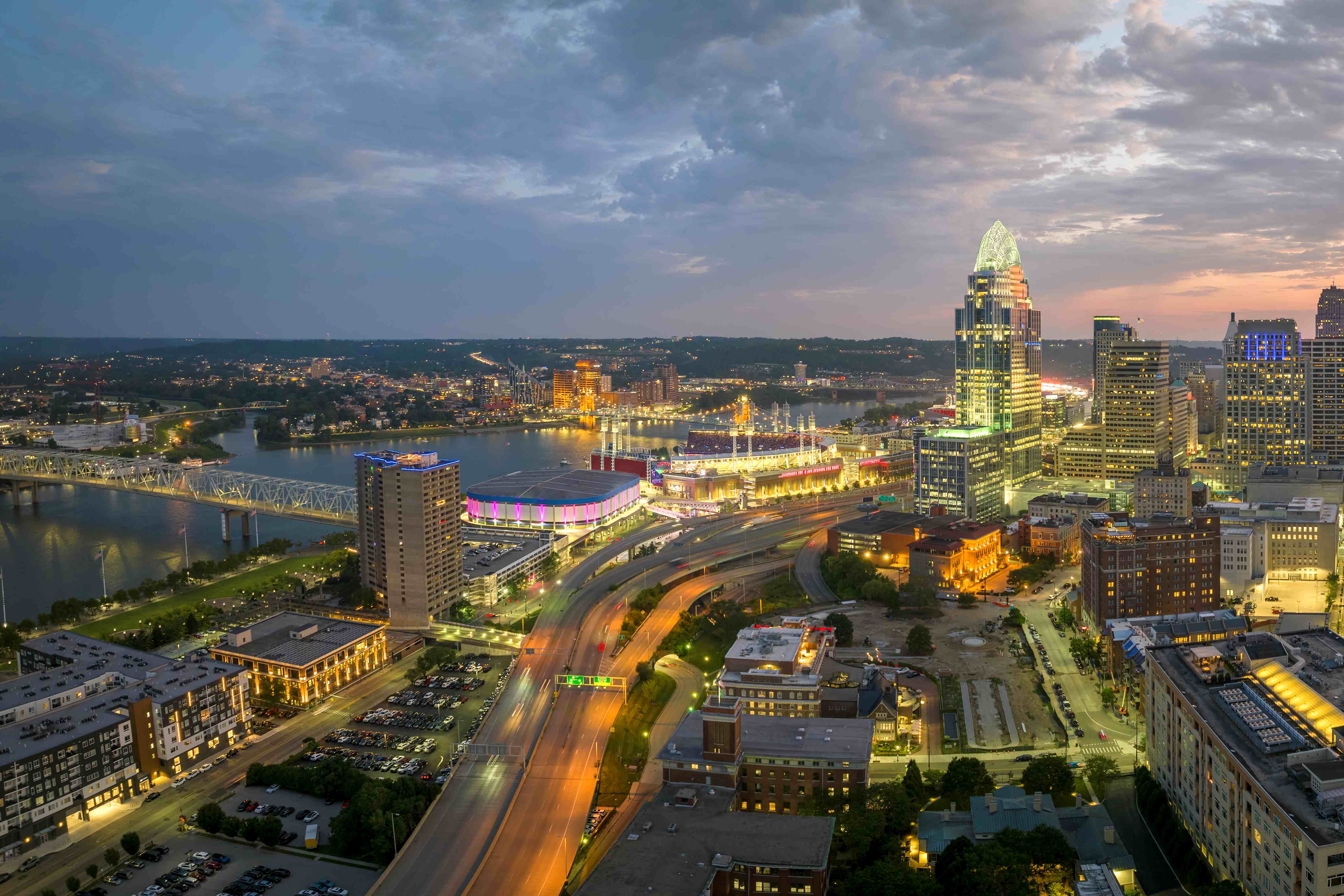 network that helped escaped slaves.
Anti-slavery sentiments were strong here, but Southern sympathies remained, especially among the elite connected to the Southern economy.
This made the city ideologically tense. Street riots broke out periodically, especially between different ethnic and political groups: German liberals, Protestant activists, Irish workers, and African American communities.
At the same time, museums, libraries, universities, and musical groups flourished. In the middle of the century, a public library, a zoo (one of the oldest in the country), and an art museum opened.
The Aftermath of the Civil War
When the Civil War began in 1861, Cincinnati quickly became a critical rear center for the Union. Regiments were formed, military hospitals were set up, and donations were collected.
After the war, the city faced new challenges: rising prices, increasing social polarization, and the return of soldiers to the civilian economy. Nevertheless, the economic core remained stable, and the city continued to grow, but now as a complex, multi-ethnic, industrialized metropolis.
The 19th century was a formative period for Cincinnati. It was a city where German was spoken in the markets and abolitionists held meetings in basements. It was a city where factory owners and escaped slaves, liberal professors and street fighters could live side by side. All these contradictions did not destroy downtown Cincinnati. On the contrary, they became part of its vibrant, dense urban fabric.
By the beginning of the 20th century, the city entered a new era with a reputation as a cultural center, economic leader, and laboratory of American urbanism. But all this was only possible thanks to the rich, multi-layered experience of the 19th century, a time when Cincinnati found its identity.